This article attempts to explain how glacial forces helped to form the valley into a shape suitable enough to store water in sufficient quantity to supply a metropolitan area filled with millions of inhabitants.
Basically a wide flat valley, underlain to great depth with clean sands and gravel and lacking only a plug at its lower end, it was the leading candidate for development.
It was also the only one (the other sources being Lake Winnipesaukee and the Merrimack River) lying wholly within the jurisdiction of the Commonwealth.
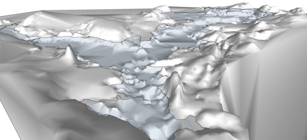
Topographic image of the valley, Reservoir shoreline outlined in blue; vertical scale exaggerated.