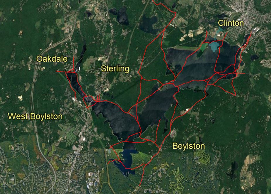
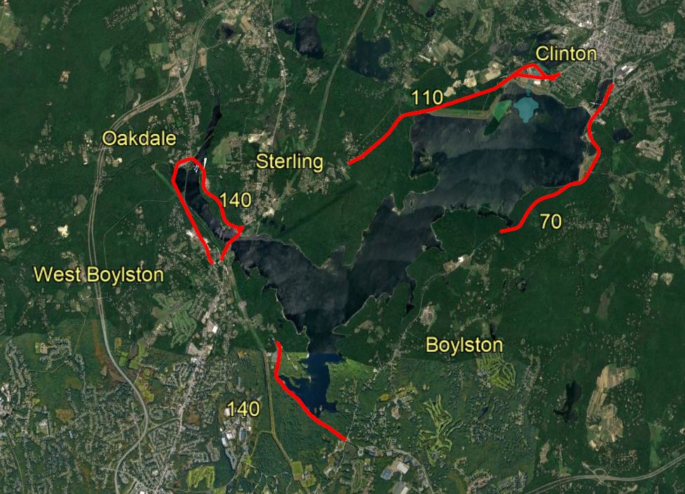
Most people today are familiar with size of the Wachusett Reservoir and can easily navigate around it using the various highways that connect the towns around its shoreline – State Routes 70 in Boylston, 110 in Sterling and Clinton, 140 in Oakdale and Boylston and Thomas Street in Oakdale.
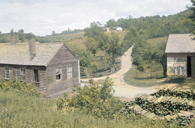
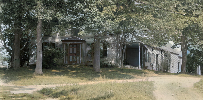
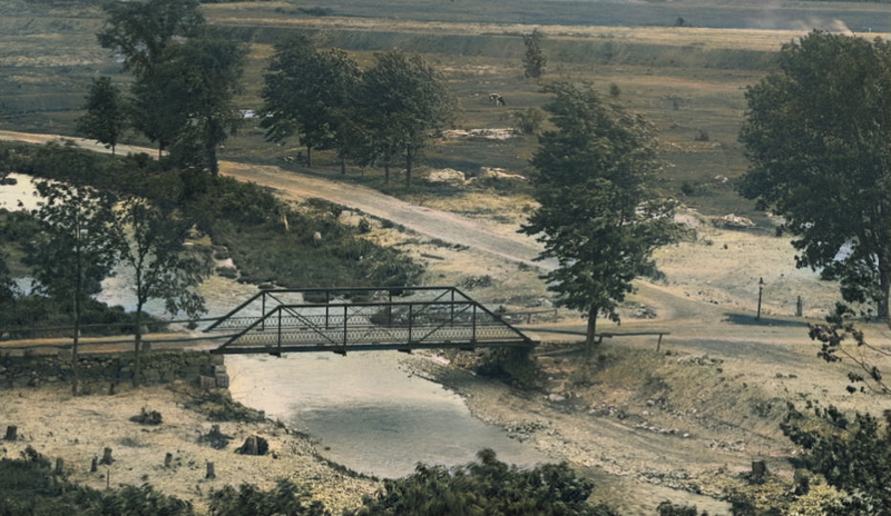
All of these roads were purpose built to replace the many farm and country roads, once crisscrossing the valley, their discontinuance when the Wachusett Reservoir was built brought with it huge disruption of commerce and travel amongst the towns.
It was not always so easy.
Imagine, for instance, traveling a direct route to Sterling from Boylston; or to Clinton from Oakdale ; or to Sawyer’s Mills from almost anywhere before these highways did existed.
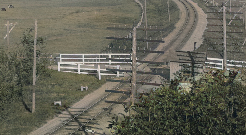
The South Clinton Station of the Central Massachusetts Division of the Boston & Maine Railroad was easily accessed from at least seven directions
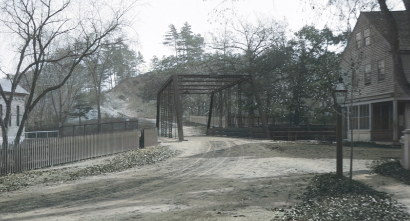
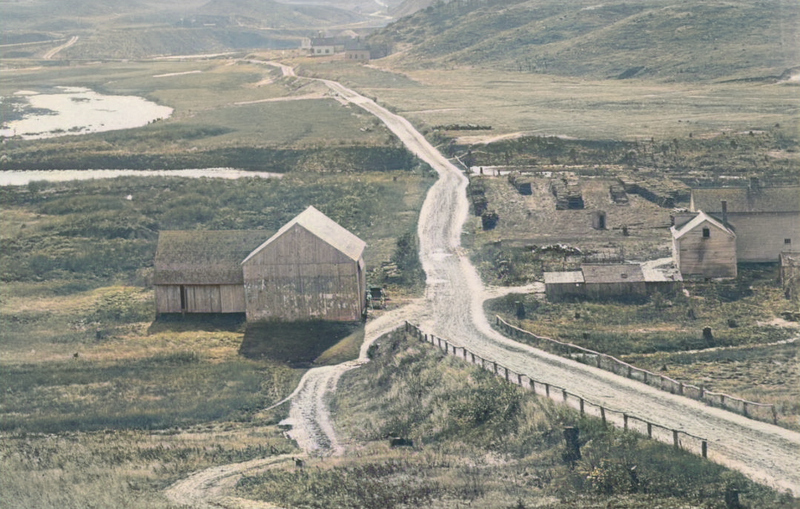
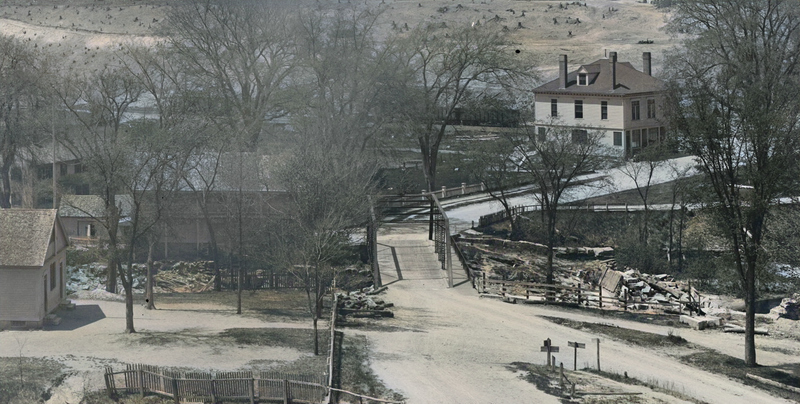
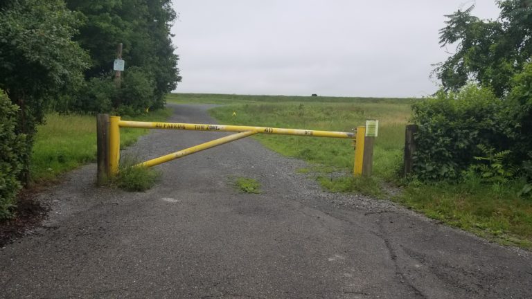
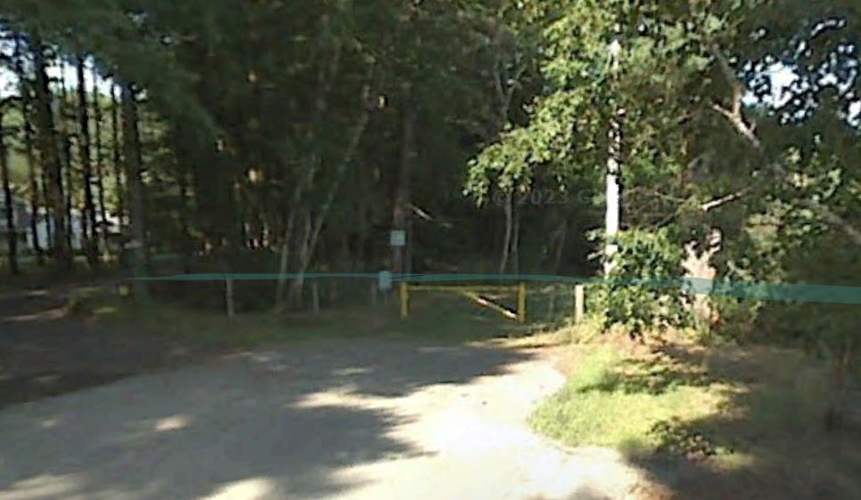
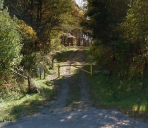
Within the enclosed area of the Reservoir and its watershed, marked by over forty numbered entrance gates, many of these roads still exist until they disappear suddenly at the water’s edge. The roads are mostly quiet these days, used for maintenance and limited recreation (hiking, fishing etc.)
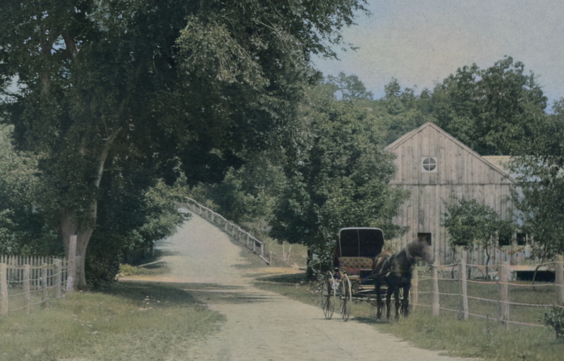
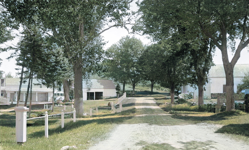
In this article are five imagined trips along these some of these roads, illustrated by archival photos of the structures (and some of the people) to be seen along the way.