The Villages at West Boylston
Presented in collaboration with students at Worcester Polytechnic Institute
Welcome to the Lost Villages at West Boylston. Today we will be touring the town that was lost beneath the reservoir that resulted from the construction of Wachusett Dam which was created to supply water to the Boston metropolitan area.
There were three villages (so called) in West Boylston in those days.
Upper Village, located the furthest upstream, included the Oakdale area and its mills.
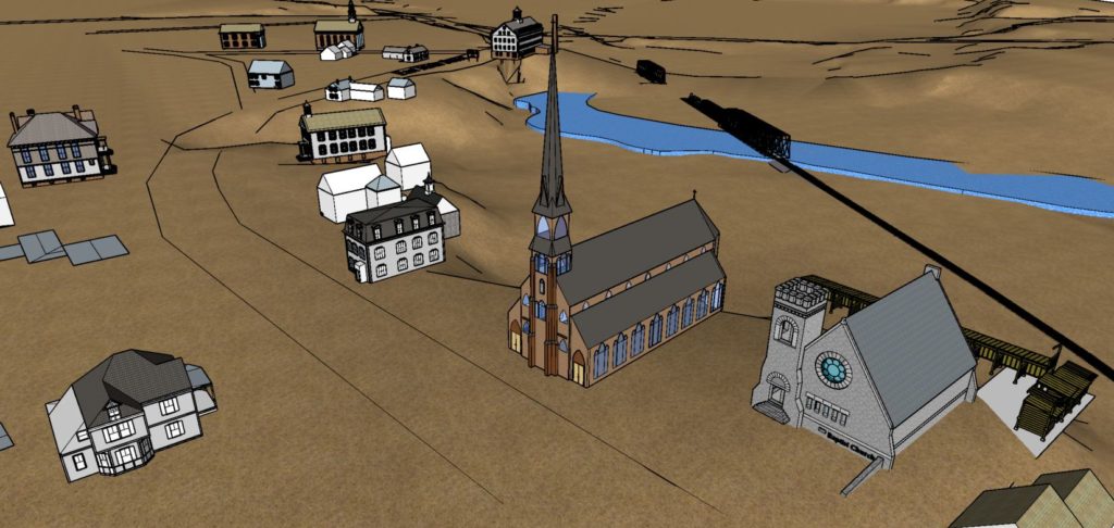
Central Village was the area around the 1891 Baptist Church. It was institutional in nature (churches, schools etc.) and is dry land today.
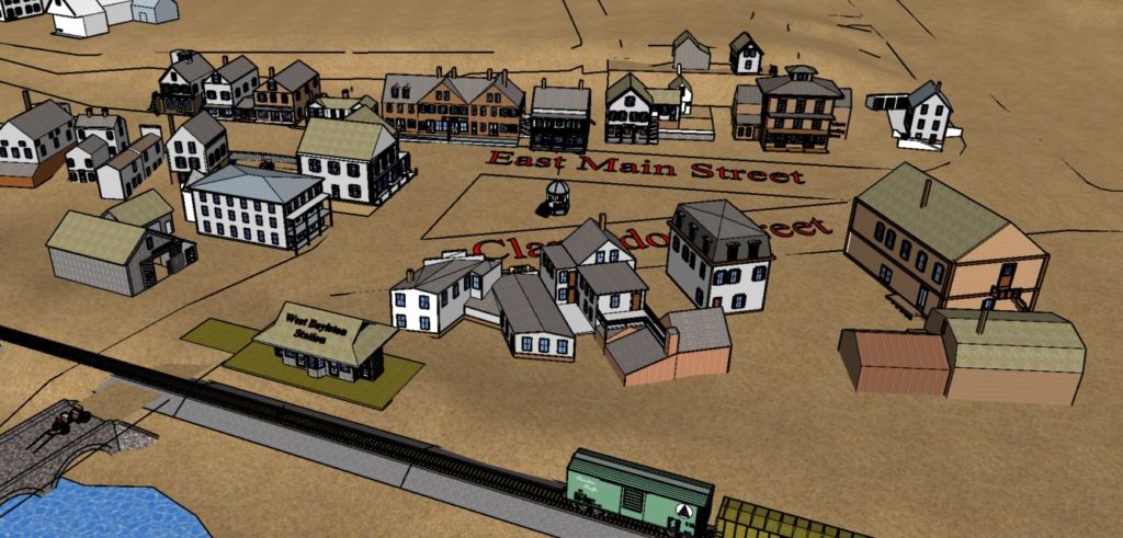
Lower Village was the location of the West Boylston Station, directly below the power lines, only a hundred fee offshore in fifty feet of water. Mostly a residential neighborhood, supported by its own markets and the train station, it served the Clarendon Mills area.
All that remains of the Villages is the well-known Old Church and half of Oakdale.
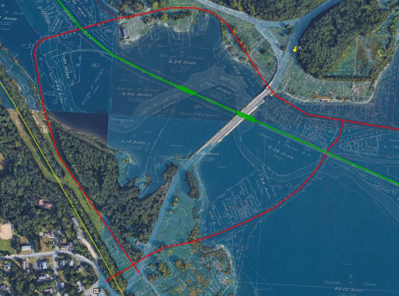
In this photo, the Old Church is at the upper left.
The Roads
The roads are in red, showing the two crossing the valley, Holbrook Street (left) and Prospect Street (right) and the modern day causeway (in white) is in the center.
The Rails
The Central Massachusetts Railroad (CMRR) is in green.
West Boylston Station is the yellow square where CMRR crosses Prospect Street.
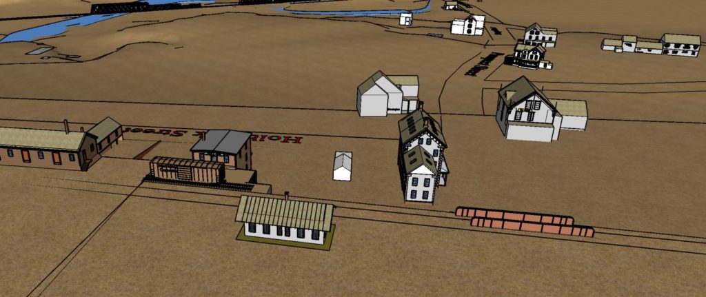
At the far left is the B&M track that remains in service today. South Boylston Station was on Old Prospect Street adjacent to the freight yard that is a construction business today.
The Mills
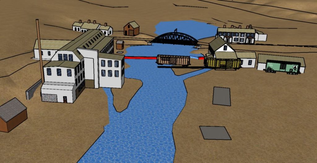
In the crook of Holbrook Street, submerged, is the millpond that served both the Cowee and Rice Mills.
Clarendon Mills and it Pond are to the far right.
The river, the roads and the rails beneath the water

“The Villages at West Boylston” was researched and presented in collaboration with
Student Engineers at Worcester Polytechnic Institute

Before There Was A Dam
eMail: admin@beforetherewasadam.com
All content ©2021 Before There Was A Dam or respective brands
